Land & Bathymetric Survey
Back to Services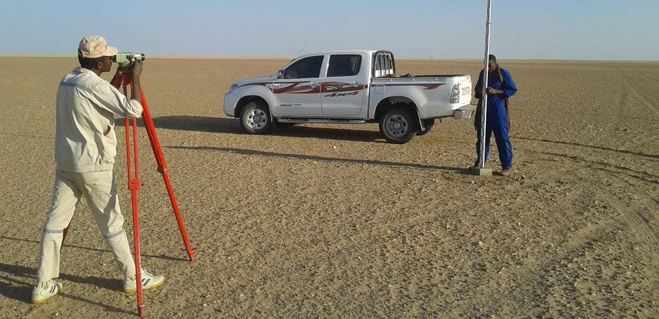
Overview
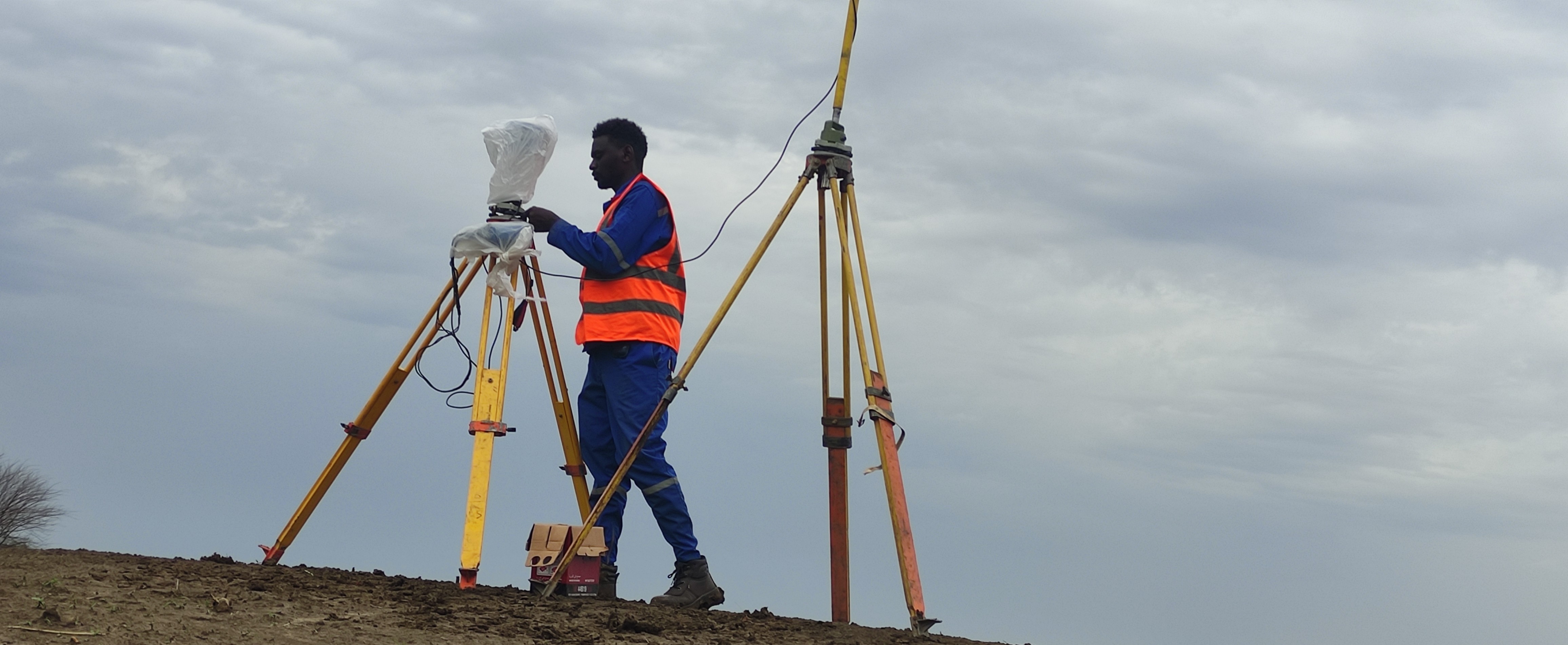
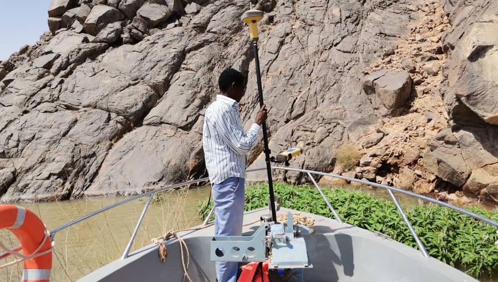
Zohal offers precise land and bathymetric surveying services using advanced surveying equipment to ensure high-accuracy mapping and engineering outputs. Our work includes land topographic surveys, reference network setup, and hydrographic depth measurements for wadis and rivers.
Key Services:
- Topographic land surveys (GPS GNSS & Total Station).
- Benchmarking and control network establishment.
- Bathymetric surveys using high-accuracy Echo Sounders.
- Digital mapping and contour map production.
- Pre-construction and as-built surveys.

Advantage:
We deliver highly accurate survey data supported by deep experience in major Sudanese engineering projects — ensuring reliable outputs for design and construction phases.