Zohal Engineering Training Center
ZETC is a leading engineering training center offering hands-on professional programs in Surveying, GIS, Hydrology, BIM, Remote Sensing, Road Design, Drone Mapping and Project Management.
Courses Offered by ZETC
- Surveying (TS – GNSS RTK – Level – Laser Scan).
- Drone Mapping & Photogrammetry.
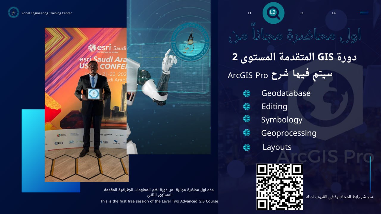
- GIS (Basic – Advanced Levels).
- Remote Sensing & Satellite Image Processing.
- Stormwater & Hydrology Design.
- AutoCAD – Civil 3D – Revit – InfraWorks.
- Project Management – Primavera – Quantity Surveying.
- BIM & BIM–GIS Integration.
- English (Headway) + IELTS.
Why Train with ZETC?
- Professional trainers with regional experience.
- Practical content aligned with real engineering projects.
- Hands-on learning using real-world datasets.
- Project-Based Learning methodology.
- Engineering partnerships regionally.
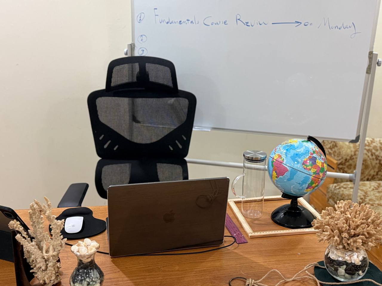
Training Highlights
Highway Design Training
GIS Data Analysis Training
GNSS Static Processing Workshop
ZETC Certificate Sample
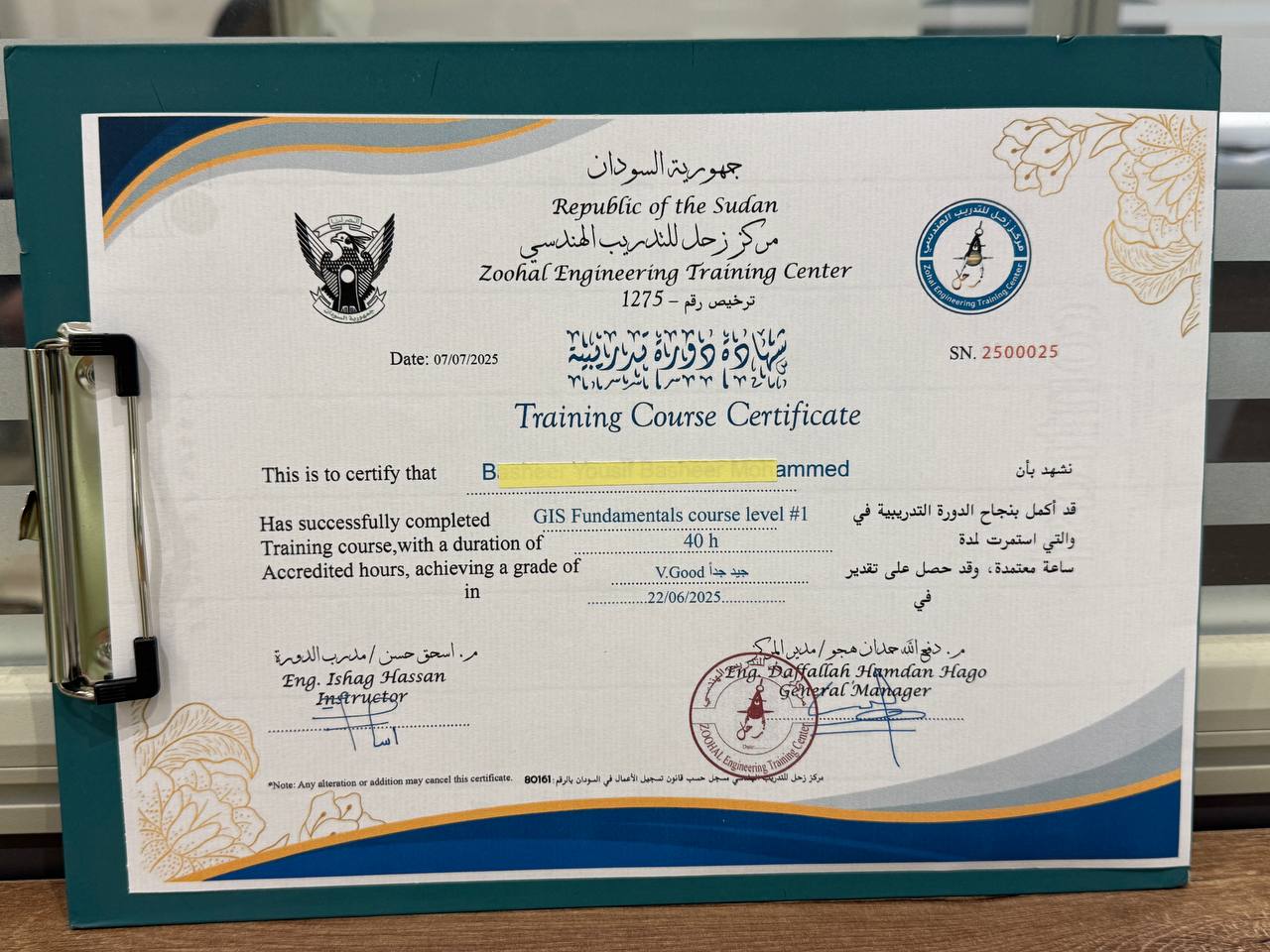
The ZETC Training Certificate includes accredited training hours and can be authenticated by the Sudanese Ministry of Foreign Affairs.
- GISP Certification — global GIS professional recognition.
- Saudi Council of Engineers — improves ranking.
This certificate strengthens your engineering career and enhances employability in GIS, Surveying, Infrastructure and Engineering fields.